
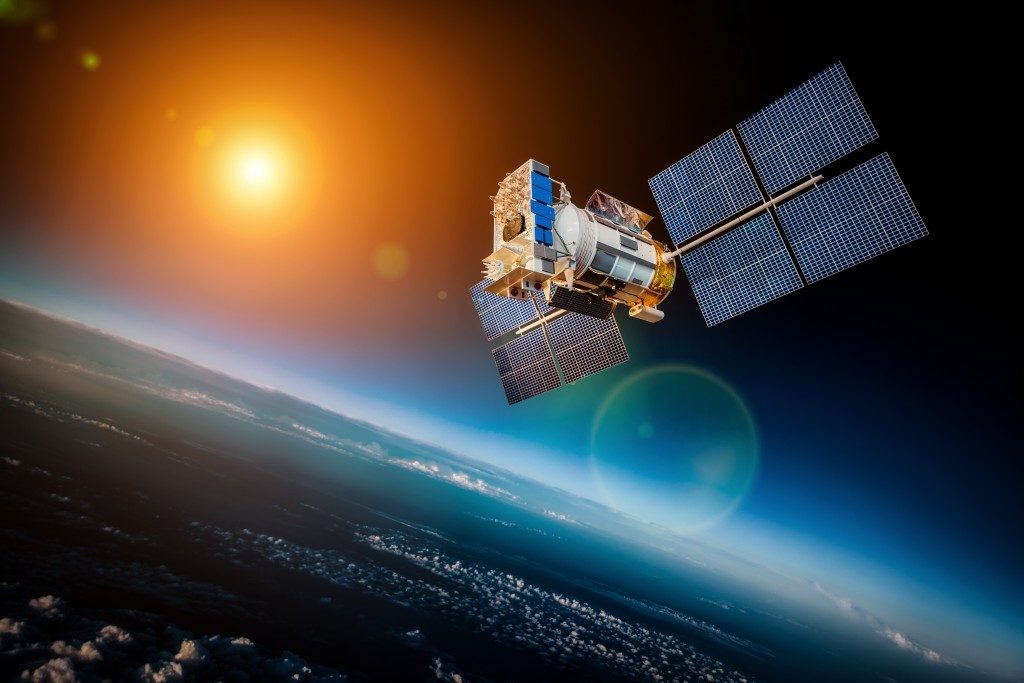
\When you travel, it will be a big problem if you ever get lost. Fortunately, modern technology has come up with satellite navigation technology. Whether you’re in a foreign city or on the trackless blue ocean, satellites can determine where you are and help you go in the right direction.
Properly calibrated with a GNSS/INS simulator, your device can tell you your exact location. Here’s a look at the world’s top global satellite navigation systems:
GPS
The most popular satellite navigation system is GPS. It also happens to be the oldest. The U.S. Department of Defense developed it in the 70s and the U.S. government is still maintaining it. Originally designed for military purposes, it was opened up to civilian use in the 90s.
The original navigation system for the U.S. military was TRANSIT and was developed in the 60s. It used the first instances of satellite information to provide accurate navigational data and additional information. This is what evolved into the modern GPS. Currently, there are 24 satellites orbiting the globe that is part of the GPS network.
Thanks to careful positioning, every position on the globe is visible to at least four of these satellites. GPS users receive positional data from three satellites and the chip in their device calculates where exactly the user is.
GLONASS
GLONASS is similar to GPS and is operated by the Russian military. It has 21 satellites in its main constellation, with three satellites being kept in reserve for emergencies. The positioning system works similarly to GPS in that the devices using it receive signals from the satellites. The main difference is that there are only two signals needed to determine a location. In addition, it can be integrated with GPS for a more accurate location reading.
BeiDou
China is not going to be left behind when it comes to satellite systems. BeiDou has two constellations. The initial constellation was launched back in 2000 but has since been retired. Currently, BeiDou-2 has 35 satellites and BeiDou-3 will soon be launched. Primarily aimed at land and marine transportation, China is still working to improve this system.
GALILEO
 The European Union has its own satnav system called Galileo. The satellites are being launched by the European Space Agency and the European GNSS agency is in charge of it. Designed for both civilian and commercial use, the fully completed system will have 30 satellites in orbit. European experts project 2020 as the completion date of the system since that is when the last satellites will be launched. It works, though, offering Early Operational Capability.
A good satellite navigation system is a blessing for individual travelers and to businesses. With full global coverage, you can be sure that whenever you fire your device up, you can know your position and be able to continue your travel in the right direction.
Technology has truly made our lives easier by providing solutions to the challenges our ancestors faced back in the day. With the current pace of innovation, we can expect more developments in the future.