It’s in your car. It’s on your phone. It’s probably even in your watch. The GPS or Global Positioning System is one of the most important technologies of the century. It’s used to in all kinds of navigation, whether on land, on the sea, or even in the air. But before this technology was publicly available, it was primarily used by only a select few groups. Such would be the military, pilots, and seafarers.
Today, the said technology is now widely-used. You can often see the GPS in action as digital guides in your smartphone. Most of us take this technology for granted. But believe it or not, an earlier form of GPS already existed in the past.
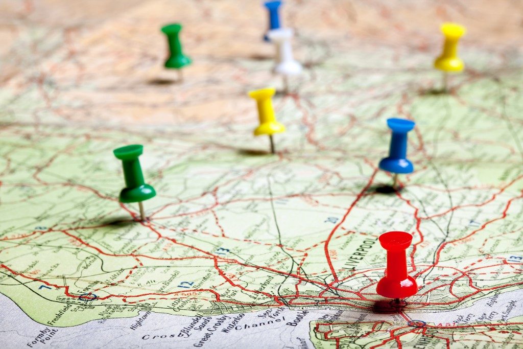
Learn the humble origins of navigation and the introduction of GPS.
Early innovators used the skies and manual tools
To put themselves in the right direction, sailors would sometimes use the stars to map out their path. These sailors would chart out their trajectory using the location of the stars in the sky. It’s a technique similar to how they would use the sun’s location to locate the west and the east.
It must have been awfully inaccurate. But we can’t dispute the fact that it was the first instance of formal navigation. These early explorers may not be able to determine their exact location, but what they lacked in accuracy, they made up for in data logging.
The introduction of accurate maps and compasses ushered a new age in navigation. With the help of data from previous wayward explorers, maps were drawn to better present the world at the time. Compasses were also used to accurately determine which direction our ancestors were heading. Now, people have access to a more accurate navigation system: GPS.
A digital age

Today, modern GPS is a staple feature in any smartphone. You can easily look up your location with a few keystrokes. Compass apps are even tucked inside your phone. This works by using small magnets similar to an actual compass.
Compared to our ancestors, the equipment we use now is far more accurate. Instead of depending on manually drawn maps and celestial bodies, we now look to satellites and our screens for immediate help.
These satellites bounce off multiple signals and can even offer direct images from outer space. This gives an accurate description of where people are at all times. For extended accuracy, your smartphone may even ask to connect to a Wi-Fi or mobile internet connection. The location of the internet signal can help narrow your position.
For even more accuracy, there are specific tools for the job. A GNSS INS simulation (Global Navigation Satellite System / Inertial Navigation System) uses a system of satellites for the job. The position is traced, such as its relative latitude, longitude, elevation, etc., along with its accurate orientation and velocity. This is something reliable when accuracy is a priority.
We have definitely come a long way from maps and charts. The early uses of GPS were manual tools and inaccurate directions made by the cosmos. But now, we have the power of technology on our side. Though taken for granted sometimes, this piece of innovation has changed the world as we know it.